


BRITAIN could be just 10 days from the start of an Arctic whiteout amid warnings a collapsing Polar vortex will trigger a January big freeze.
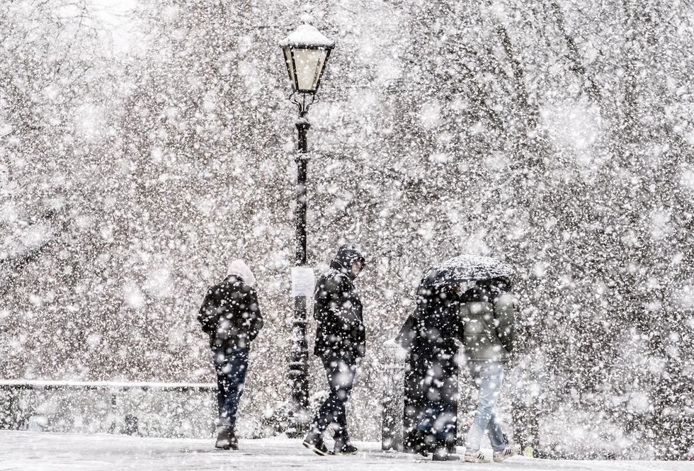
Forecasters say there is potential for a severe cold spell next month with snow flurries possible as soon as the clocks toll the end of 2022 this weekend.
Meteorologists have their eyes trained on the Polar Vortex – a pool of cold air spinning over the North Pole–and the potential for a Sudden Stratospheric Warming (SSW) event.
However, conflicting weather models have sparked a furious meteorological debate with some forecasters insisting milder, more stormy weather is more likely.
Heavy snow could blanket much of Britain in January 2023 according to the latest weather maps
PA
A major SSW drove 2018's Beast from the East, an Arctic deluge which during late winter blanketed swathes of the UK in deep snow.
The phenomenon is caused by a change in wind direction in the air high above the North Pole causing air to descend from the stratosphere and flood the United States, Asia and northern Europe.
James Madden, forecaster for Exacta Weather, said: “A Sudden Stratospheric Warming event is now looking even more likely to occur this winter, and this could happen as soon as in the next 10 days.
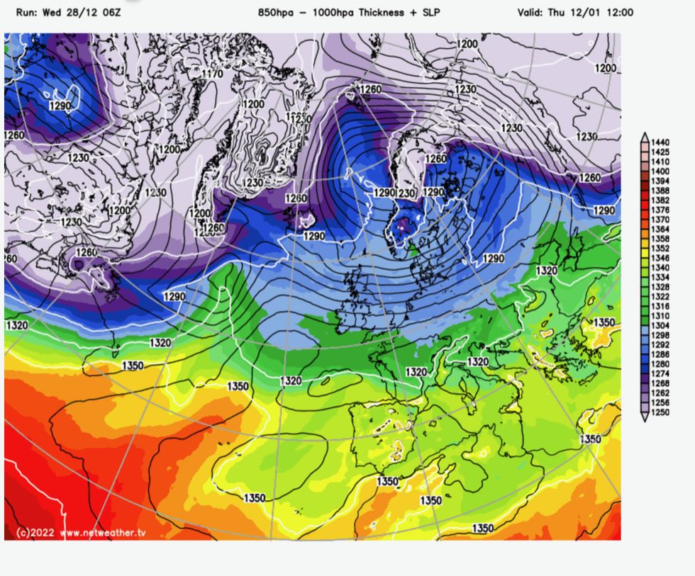
Snow in the UK is likely as cold air from the Arctic meets warmer, wetter Atlantic fronts
Netweather
“This will mean that the cold air over the Arctic will be given a route to cross our shores, and in addition to above-average snowfall, it could pave the way for another big freeze, leaving the cold snap earlier in December a distant memory.”
If an SSW event does set in, colder weather could hit Britons around the middle of January, he warned.
In the meantime, cold winds blowing into the UK this weekend will mean New Year revellers should wrap up to see in 2023, he added.
He said: “We could see some snow hitting parts of Britain around the New Year period, but this is likely to be restricted to the northern half of the country.
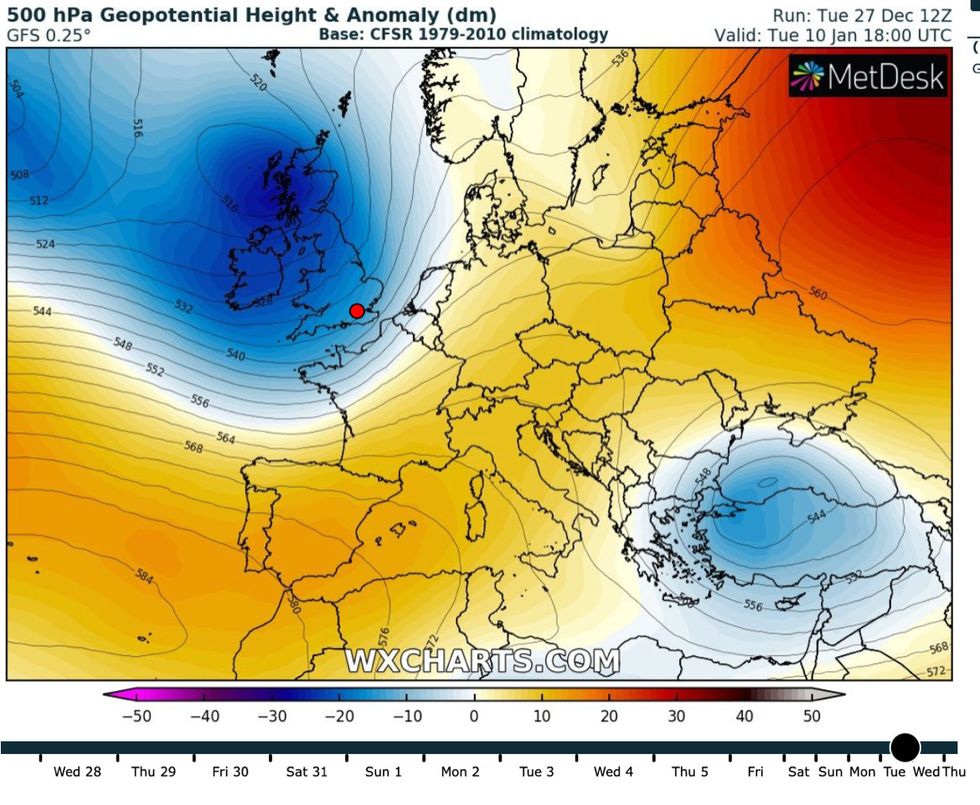
Weather forecast January 2023: The UK is set for a big freeze that could last weeks
WX Charts
“The effects of any stratospheric changes would make their impacts later on in January.” Some meteorologists, however, say forecasting models point to a different picture of a wetter, milder, Atlantic-driven run through the start of 2023.
British Weather Services’ Jim Dale, author of ‘Weather Or Not?’, said: “It is not something that I will rule out, but at the moment I am favouring a more mobile weather pattern from the Atlantic, and instead of a big snow event, we may be more likely to see a named storm during the start of 2023.
“However, that does not mean it is not going to happen, and if it does, it will be more likely to affect northern parts of the country.”
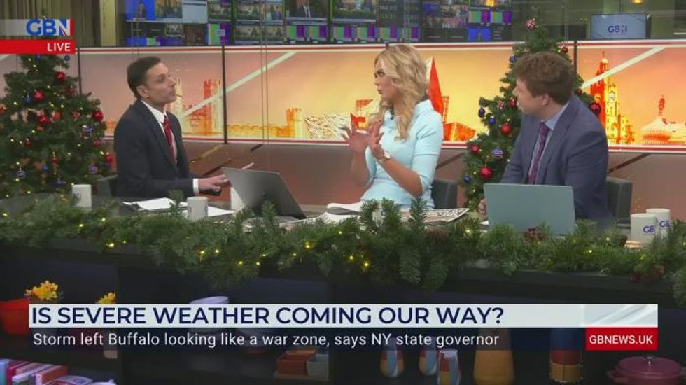
It comes as Canada and the Unites States shiver through what is hoped to be the tail end of a ‘once in a generation’ big freeze which sent temperatures plummeting below -40C and killed around 60 people.
The historic whiteout has been driven by the Polar Vortex tipping torrents of cold air over the region, although a Sudden Stratospheric Warming is not behind the cold snap.
While the effect of the US weather on the jet stream may indirectly bring some wet and windy weather to Britain through the next week, there is no suggestion the big freeze will move over the pond.
But snow is forecast to hit Scotland and northern Britain this weekend as temperatures dip below normal in chilly winds.
A northwest-southeast split will bring drier weather to eastern Britain with while the north battles heavy rain and gales.
A Met Office spokesman said: “The start of January may bring showers or longer spells of rain for many, with the potential for some heavier bursts.
“Snow will most likely be restricted to higher ground in Scotland. “A northwest-southeast split may develop, bringing drier conditions to eastern areas with the most frequent rainfall and strongest winds in the north and west.
“Temperatures likely to remain near normal, but perhaps locally rather cold in the north whilst remaining mild in the south.”
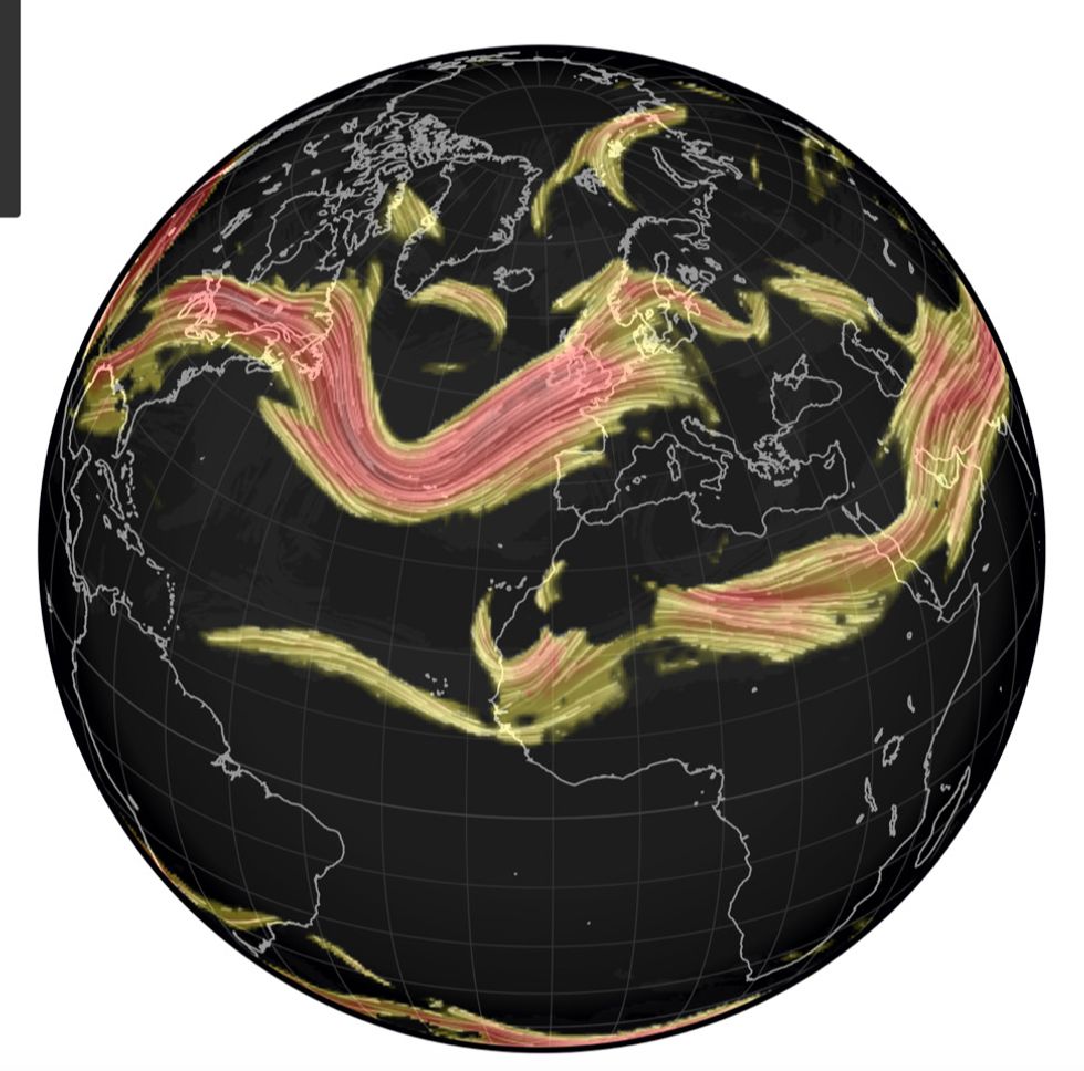
The UK Met Office has warned the jet stream could strengthen in the coming days
Netweather
With reference to an imminent cold snap, it added: “Confidence remains low into mid-January, although the most likely scenario is for changeable weather to continue.
“It will be mild at first but briefer cold spells from the north and northwest are possible at times, which could bring snow showers to the north.”
Long-range weather models are fluctuating between mild and wet, and dry and cold, according to Weathertrending meteorologist John Hammond.
This, he explains, is because of ripples of convection across the Indian and Pacific Oceans–the Madden Julian Oscillation (MJO)–which could bring either weather pattern to the UK.
He said: “There are conflicting signals as to what the weather will be like in January. “Currently most longer-range models favour a drier and colder scenario, and this is even more likely if the Polar Vortex Begins to weaken.
“But meteorologists are in for a perplexing week or two as they try to work out which of these opposing atmospheric forecast will hold sway.”
The big freeze in the United States, experts say, could fire up the jet stream shooting it towards Britain laden with stormy weather systems.
Met Office meteorologist Alex Deakin said: "Very cold air driving south is pepping up the jet stream, and the impact for the UK will be that as that cold air sinks south and hits that warm air, we get a contrast that drives the jet stream.
“This powers it even more, and that highly invigorated jet stream will then spread off into the Atlantic to perhaps switch up our weather systems.”