
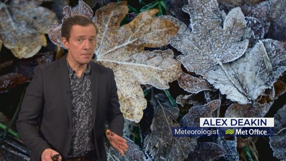


HEAVY snow could hit southern Britain as soon as next Tuesday as freezing cold air from the Arctic meets a warmer, wetter front pushing north from Europe.
The Met Office has issued a yellow warning for parts of Wales, Northern Ireland, England’s east coast, northern Scotland and the Western Isles.
Forecasters say Arctic air will move in from Wednesday evening, with the UK Health and Security Agency issuing a cold weather alert recommending people warm their homes to at least 18C (64.4F).
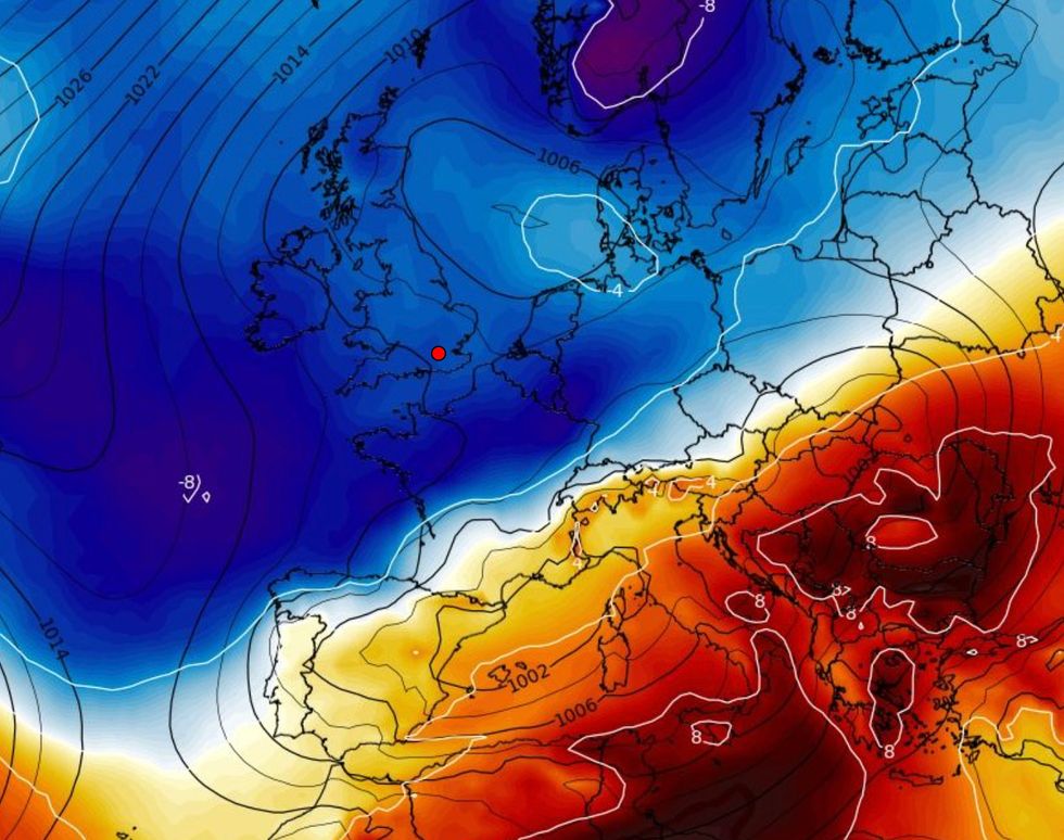
Heavy snow could hit London and the South East of England next Tuesday
WX Charts
Forecaster Brian Gaze from The Weather Outlook said: "A key feature of this cold spell is likely to be very low temperatures.
"In the southern half of Britain temperatures will probably plunge to between -5C and -10C in some locations and in the Welsh valleys they may fall below -10C.
"Forecast details become much more uncertain next week, but some computer models are showing areas of low pressure starting to push up from the southwest.

A major snow event could hit Britain as cold Arctic air meets warmer wetter weather from the south
Meteociel
"It is only one possible scenario being shown by computer models at the present time, but if it happens the chance of disruptive snow in the southern half of Britain will increase."
The Met Office said on Twitter: “If you haven’t already, it’s time to dig out the winter hats, gloves and scarves – as Wednesday is looking cold.”
Forecaster Oli Claydon said: “Day to day we are in cold conditions already with that north-easterly flow, but conditions are set to get colder through the week, with the worst showers across northern Scotland but also bringing much colder conditions across all the UK.

Snow warning UK: Much of Britain could be blanketed in heavy snow next week
Meteociel
“Overnight lows of minus 10 to minus 11 (12.2F) in areas where we do get snow in those rural parts of Scotland, with temperatures down to minus six (21.2F) in rural England.
“Cold conditions to remain through the weekend. Signs of warmer weather moving in from the southwest from Tuesday next week.
“But the signs are that the cold weather will hold in the north of the UK, so there will be a split between north and south.”
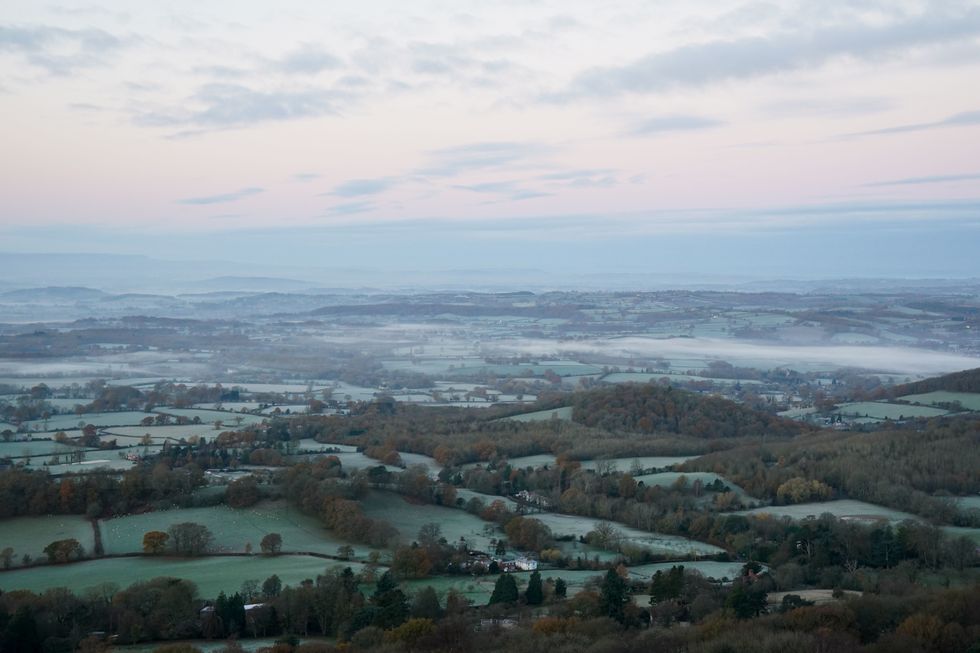
The sun rises over a foggy Worcestershire as seen from the Malvern Hills.
Jacob King
People should expect snow showers and ice to cause travel disruption and a risk of slippery surfaces.
Warnings will remain in place until Thursday afternoon, but the cold weather will not begin to shift until early next week.
Age UK has advised maintaining a supply of food and medicine to reduce the number of outdoor trips and torches with spare batteries in case of a power cut.
Homeless people in London are to be sheltered after the Severe Weather Emergency Protocol (SWEP) was activated for the first time this winter to provide emergency accommodation for rough sleepers.