


Weather experts at the Met Office are warning of up to four inches of snow and strong winds are set to smash Britain on Thursday and into the weekend.
Scotland faces specific warnings to prepare for cold blustery weather as the inclement conditions are set to cover the country.
Yellow weather warnings remain in place with continued warnings of travel disruption.
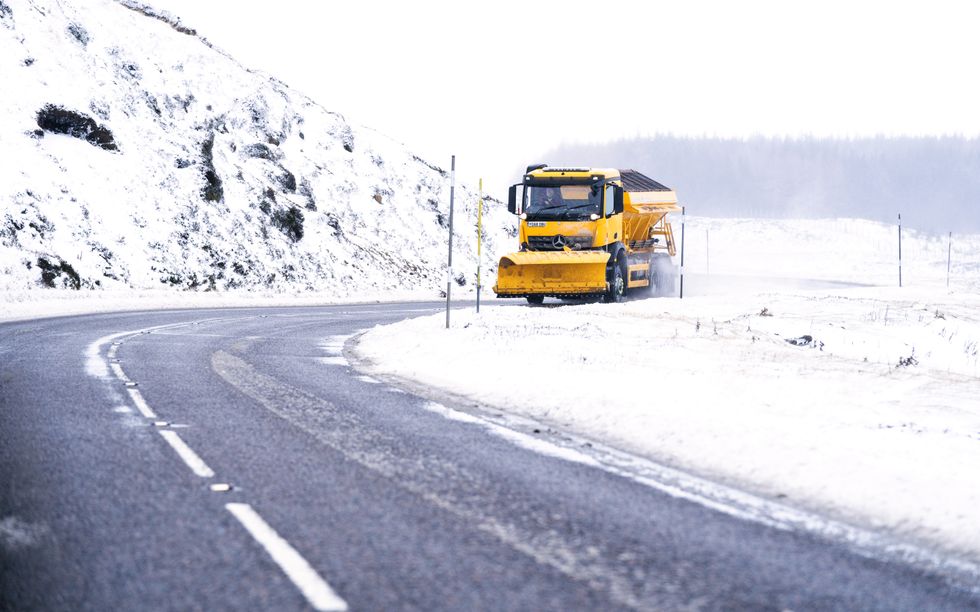
Snowplow travels along the A93 through Glenshee, Aberdeenshire
Jane Barlow
The main areas affected include Central, Tayside and Fife, south west Scotland and Lothian Borders, Strathclyde, Highlands and Grampian.
Up to two inches of snow could be expected in areas higher than 200 metres elevation, with risk of up to four inches on higher routes above 400m.
Northern Ireland also has a yellow warning for ice until 10am. Ice and slushy road surfaces could cause dangerous conditions.
Forecasters warned the brief period of severe westerly winds will develop across the Western Isles at first, bringing gusts up to 70-75 mph, with the Uists most likely to see the strongest winds.
The blustery weather will then shift eastwards, with gusts typically reaching about 50mph, and 60 mph in some locations, according to the Met Office.
Today:
Rain clearing southern England, then sunny spells for many southern and eastern areas. Rain and hill snow moving east across Scotland followed by wintry showers in the north and west. Gales across Scotland, severe on coasts at first. Feeling cold.
Tonight:
A few wintry showers in the north and west, elsewhere clearing skies allowing a widespread frost. Strong winds in the east slowly easing.
Friday:
Most parts dry with plenty of sunshine, though feeling cold after a frosty start. Turning wet and windy in the far northwest later.
Outlook for Saturday to Monday:
Spells of strong winds and rain southeast on Saturday. Wet and windy for all Sunday, though mild. Unsettled with showers or periods of rain thereafter. Becoming colder in the north.