

Don't Miss


Most Read


Trending on GB News
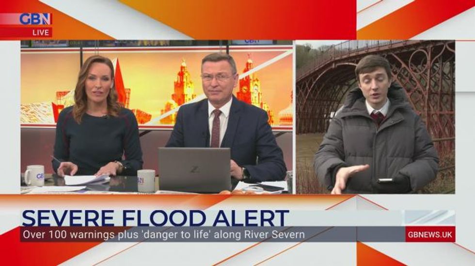
The Environment Agency has urged communities in parts of the West Midlands and the north of England, especially those along River Severn, to be prepared for significant flooding until Wednesday following high rainfall from Storm Franklin.
It has issued hundreds of flood warnings across the UK, including two rare “severe” warnings for the River Severn at the Wharfage, Ironbridge and Wribbenhall, Bewdley, where rising water levels pose a “significant risk to life”, with barriers forecast to exceed their capacity and potentially overtop.
The storms – named Dudley, Eunice and Franklin – left 1.4 million households without electricity, some for up to 72 hours, with latest figures showing just under 30,000 still without power as of Monday afternoon and residents in some areas told to evacuate.
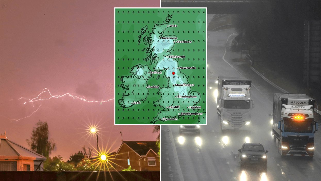
A Met Office spokesman said while there will not be a “huge amount” of rain on Tuesday, further rainfall in flood-affected areas could “massively” slow down recovery work.
Heavy showers lashing northern England and Northern Ireland are set to move south-eastwards on Tuesday, the Met Office said.
National Rail said travellers should check before travelling on the railways in the morning ahead of a “small number of delays and alterations”.
Forecaster Mark Wilson said: “It’s been an improving picture following a really bad start to the week, with strong winds due to Storm Franklin.
“Outbreaks of rain have been clearing off to the east, and some parts have been brighter but still windy, so not a great start but it has improved.
“Overnight and in the early hours of Tuesday bands of rain and strong winds in the north of England, Scotland and Northern Ireland will begin to move, bringing scattered showers across many regions, including those which have already seen flooding.
“Although there won’t be a huge amount of rain and it will pass through quickly, further rainfall on top of the regions which have seen flooding is not helpful and could cause recovery to slow down massively.”
Major incidents have been declared in Worcestershire and Shropshire as water levels along the River Severn continue to rise, West Mercia Police said.
Severe flood warnings, meaning a danger to life, have been issued by the Environment Agency for Ironbridge and Bewdley due to a risk the temporary flood defences could be overtopped within the next 24 hours.
Residents in affected areas have been contacted directly and advised where evacuation may be necessary.
Flood barriers in both locations are forecast to exceed their capacity and overtop during Tuesday, the Environment Agency said.
UK Power Networks said on Monday evening 98% of properties across the East and South East have had their power restored.